


Text by Lindsey Kesel
Images by Elyse Butler
Translated as “the bone,” Kaiwi recalls Hawaiians’ reverence for human bones as objects of great spiritual significance and symbols of connection. The word is used to fondly describe such concepts as homelife, family, and growing older. The saying “ho‘i hou i ka iwi kuamo‘o”—which literally translates to “return to the backbone”—expresses the joy of coming back to one’s family or homeland after being away.
During the 19th and 20th centuries, the Kaiwi Coast on O‘ahu’s southeast side provided thriving Native Hawaiian communities that called it home with abundant fishing, farming, ranching, and recreation. Maunalua Bay, which fronts the modern town of Hawai‘i Kai on the coast’s southern end, once housed the 523-acre Kuapā fishpond, the largest fishpond in Hawai‘i and the site of a massive annual migration and regeneration of mullet fish.
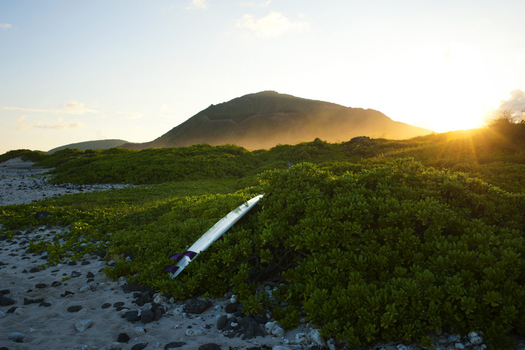
Within the Hawaiian Islands, there’s something magical about setting foot in wild places that were once so important in traditional Hawaiian society, especially those places that have somehow managed to resist major development. The Kaiwi Coast is one: the seven-mile stretch of beaches, uplands, hardened lava landscape, and sea cliffs tracing O‘ahu’s southeast side. This treasured tract of Kaiwi is protected from residential, resort, and other development in perpetuity from mauka to makai (inland and seaward) thanks to collaboration among The Ka Iwi Coalition and other community groups, the Hawai‘i State Department of Land and Natural Resources, the Trust for Public Land, and the City and County of Honolulu.
Kalaniana‘ole Highway, the paved byway that runs along Kaiwi Coast, follows the shoreline from Maunalua Bay to Makapu‘u Point, the 600-foot cliff marking O‘ahu’s easternmost tip. The winding road and adjacent hiking trails offer glorious panoramas of the 26-mile Kaiwi Channel, which flows between O‘ahu and Moloka‘i and is a notoriously treacherous ocean passing. Whales and their calves can be spotted during migration season from November to May from scenic lookouts along the drive. On a clear day, you can even see outlines of the neighboring islands of Maui, Moloka‘i, and Lāna‘i.
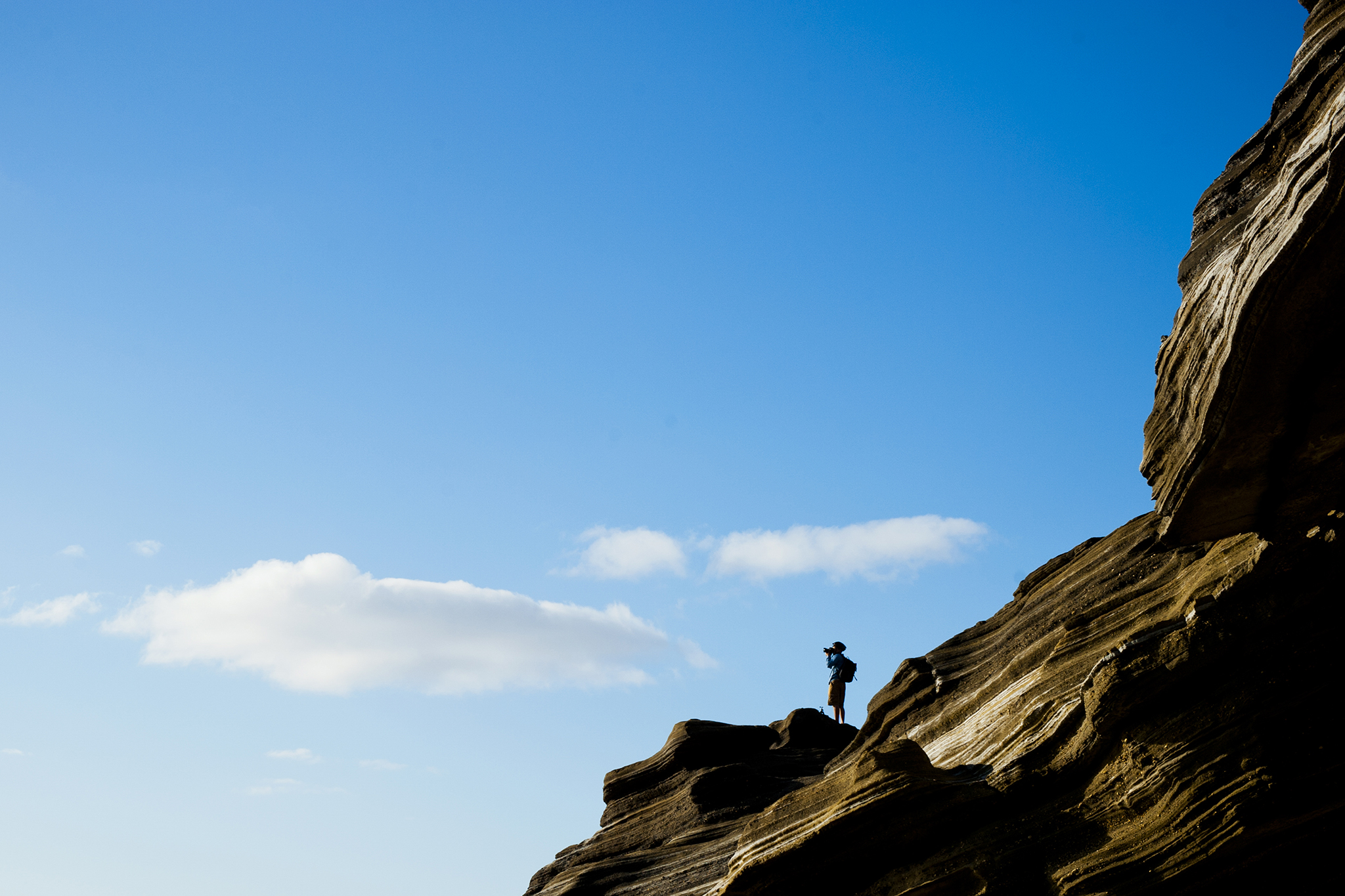
Two miles from the kayak-friendly, popular picnic spot of Maunalua Bay Beach Park at the outset of the drive is Hanauma Bay, a generally tame, marine-life-rich inlet formed by lava hardened into cratered cones that was once a favorite fishing spot of King Kamehameha V and is now a popular snorkeling site. Inland from the bay is Koko Head National Park, which boasts the Koko Crater trail, an Instagram-worthy vertical stair hike. At various points along the shore are smatterings of lava tubes, caves, gulches, and the legendary Hālona Blowhole, a lava outcropping that sprays a delightfully unpredictable, pressurized mist into the air. A jagged descent from the blowhole viewpoint leads to Hālona Cove, a cozy beach nicknamed Eternity Beach after its cameo in the 1953 film From Here to Eternity.
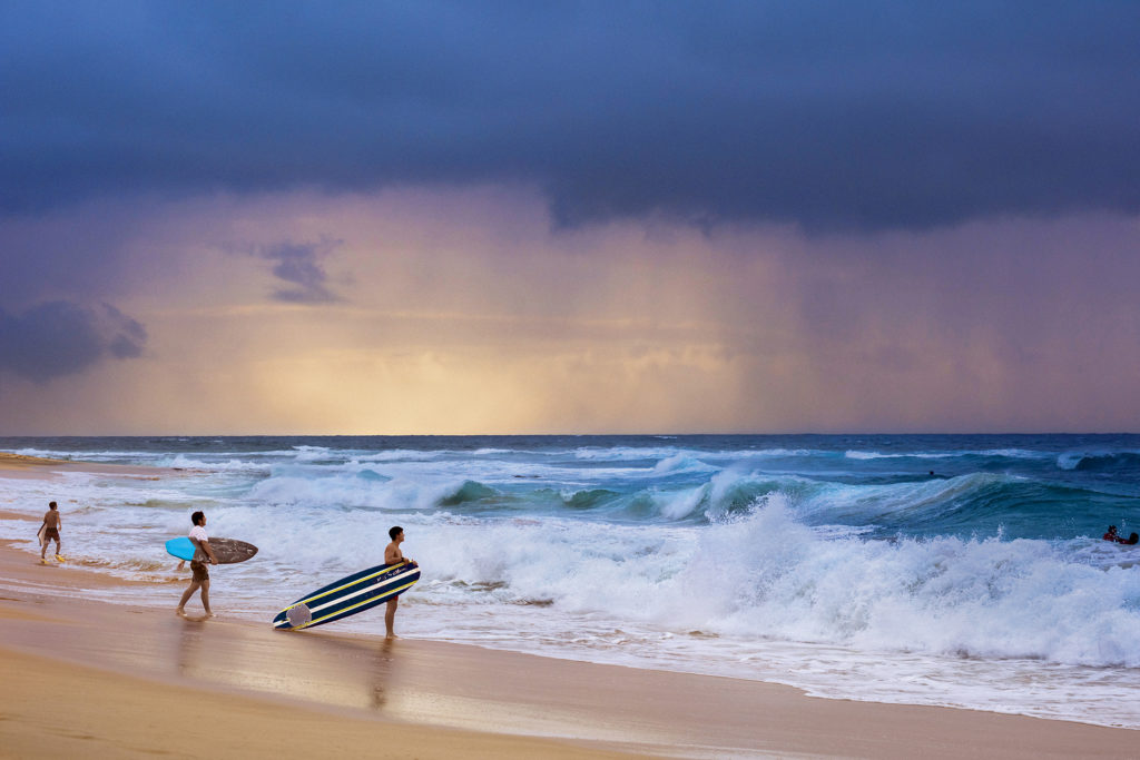
Less than a half-mile north of the blowhole is the expansive Sandy Beach, also known as Wāwāmalu, which beckons experienced bodysurfers and bodyboarders with its sharp waves that break on the shore and frightens novice surfers with cautionary tales of broken bones. Hikers looking for an easy but rewarding trek at the northern edge of Kaiwi Coast will enjoy the Makapu‘u Lighthouse Trail, a one-mile uphill path that ends with beautiful views of the coastline and the red-roofed lighthouse atop Makapu‘u Point.
You May Also Like: Kaimana is Calling
Within the Hawaiian Islands, there’s something magical about setting foot in wild places that were once so important in traditional Hawaiian society.
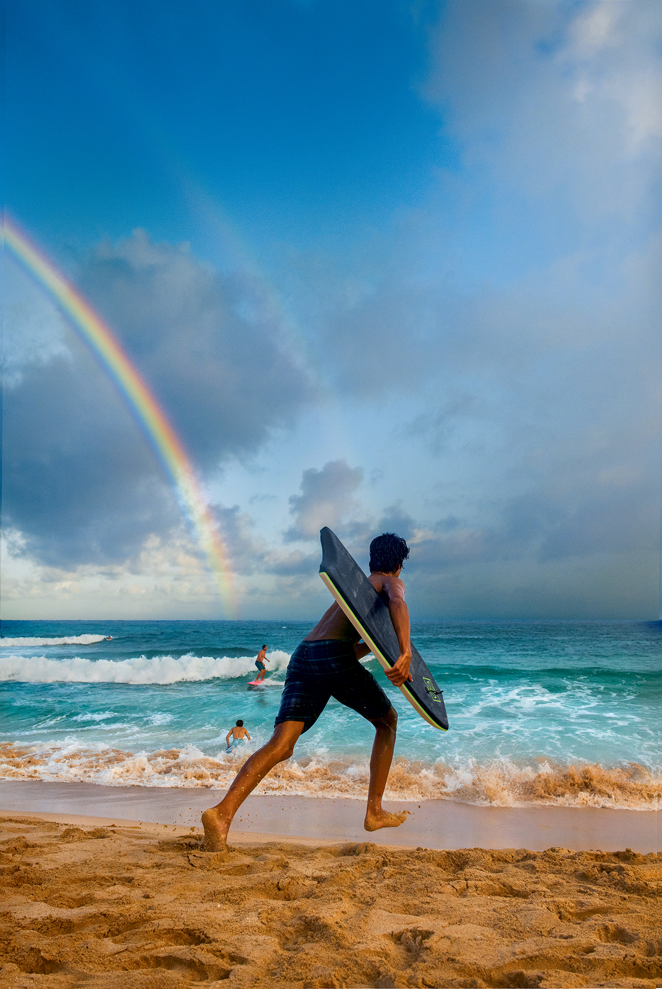
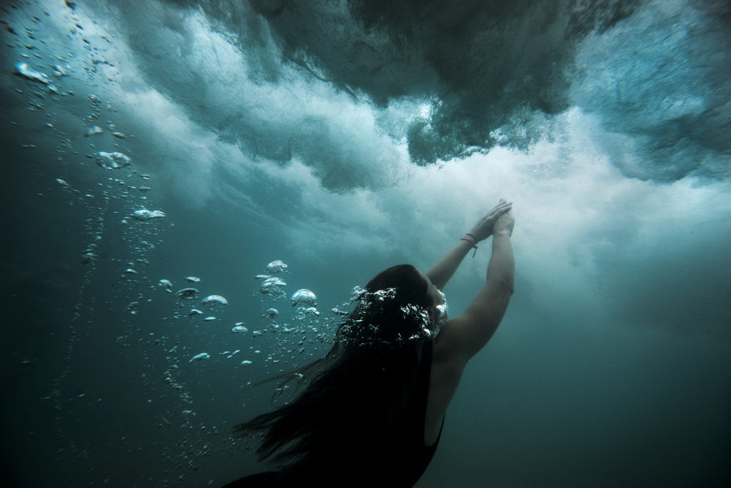
Along the coast, the elements often combine to create wildly unpredictable surf. Hawaiian stories include accounts of heroes, fishermen, and sailors attempting to cross the mercurial waters of Kaiwi Channel to test their ocean skills, encountering strong currents or a sudden kualau (shower accompanied by sea wind), and meeting their fates. Lost seafarers were frequently pulled ashore in fishermen’s nets at the coastal border of a former fishing village known today as Alan Davis Beach.
Though you may be tempted to get an up-close look at the coast’s crashing waves, it’s best to appreciate this portal to the Pacific Ocean from a safe distance, avoid stepping onto rocks that appear wet, and—as the old Hawaiian saying goes—never, ever turn your back to the sea.